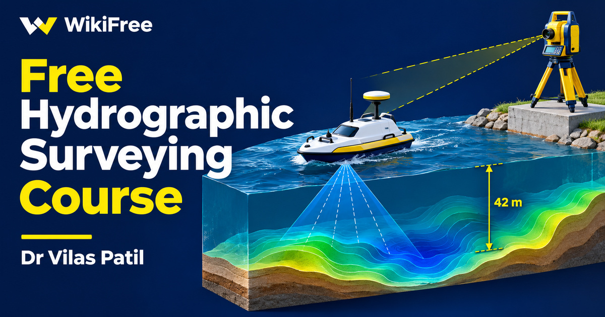
Listed as Free on Udemy when checked on 7 November 2026. No coupon or subscription trial is required for the listed lessons. Enrollment needs a Udemy account; availability can change.
About this course
A depth measurement becomes more useful when you can say where it was taken and which reference level it uses. This free hydrographic surveying course introduces that connection through traditional methods of locating soundings. It is a focused introduction for civil engineering students who want to connect familiar surveying measurements with work carried out on or near water.
Dr Vilas Patil begins with the purpose of hydrographic surveying before moving into control, equipment and position-fixing methods. The course assumes a basic understanding of linear and angular measurements. That background matters: the central questions concern the relationship between an observation, the location of a boat and the reference system used to describe the measured depth.
| Official course | Methods of Locating Soundings in Hydrographic Surveying |
|---|---|
| Created by | Dr Vilas Patil |
| Platform | Udemy |
| Language | English |
| Level | Beginner |
| Listed duration | 72 minutes; 7 lectures across 7 sections |
| Completion terms | Not included with a new free enrollment |
What you’ll learn
Explore the meaning of soundings and the need for horizontal and vertical control. Follow an introduction to cross-rope and range-and-time methods, then compare angular observations made from the shore and from a boat. Finish with the concept of reducing soundings to a common datum, so that the role of a reference level remains clear alongside the position of each observation.
Skills you’ll gain
- Hydrographic survey vocabulary
- Sounding position awareness
- Horizontal and vertical control
- Angular observation comparison
- Datum reduction concepts
- Survey method organization
Build the context before comparing methods
The seven sections each contain one video, with a combined running time of about 73 minutes. The sequence moves from definitions to measurement concepts, then through several location methods and a final lesson on reduction of soundings. It offers a compact way to revisit the vocabulary and geometry before studying a fuller hydrographic survey workflow.
The opening lesson introduces surveys associated with bays, harbours, lakes and rivers. The course description connects bottom positions and underwater contours with nautical charting and engineering projects. Those examples explain why the information matters. They do not turn this short course into training for every stage of chart production, harbour design or work on a particular construction site.
Separate the depth from its position
The second lesson brings together soundings, horizontal and vertical control, and equipment. The description names sounding boats, poles, lead lines, sounding machines, echo-sounding instruments and nautical sextants. Treat this as an introduction to the roles of different tools. A depth-reading device and a method for locating that reading answer related questions, but they are not interchangeable parts of the survey.
The next lesson addresses cross-rope and range-and-time methods. These provide a useful starting point for asking how a sounding location is associated with a survey line or an observation sequence. As you study, keep separate notes for the quantity being measured and the information used to place it. This makes the transition to angular methods easier to follow without assuming that every method uses the same observations.
Read the geometry of shore and boat observations
Three subsequent videos organize angular methods by where the observations are made: one angle from the shore and one from the boat, two angles from the shore, and two angles from the boat. This arrangement encourages comparison of the observation geometry. The description of the two-shore-angle lesson specifically includes deriving x and y coordinates for the boat position. Work through that reasoning carefully rather than copying a coordinate result without its assumptions.
The boat-angle lesson is the longest video in the sequence. Its title identifies the method, while the section description also mentions other angular approaches. Keep your expectations tied to this introductory scope; the listing does not establish a complete instrument-operation course, a field placement or supervised practice on the water. Any practical survey requires suitable equipment, planning and competent supervision beyond a short recording.
Keep the reference level visible
The final lesson introduces reduction of soundings to a common, unvarying datum. This is a reference-level idea, not simply a change of horizontal coordinates. NOAA explains that vertical datums provide a reference surface for heights or depths, and that modern surveys can use three-dimensional geodetic positioning and transformations. Do not assume that every water body uses the same tidal datum or that mean sea level is a universal substitute.
The recording was last updated in June 2021 and concentrates on traditional location methods. It can support your understanding of surveying fundamentals, but it does not establish competence in modern multibeam processing or compliance with a current survey specification. For an optional paper exercise, make a comparison sheet listing each method, observation location, required control and unanswered questions. This editorial study suggestion is not an advertised assessment. Completing the videos does not authorize navigation decisions, engineering design or professional surveying practice.
Read NOAA’s hydrography introduction: Explore the broader relationship between depth, positioning and charting. Understand reference datums: Read NOAA’s explanation of modern survey reference systems.
Related courses for your next step
- Explore mapping conceptsFree Soar Mapping Course
Review a separate introduction to imagery and mapping.
Beginner
- Explore watershed contextFree Hydrology Course
Consider a separate introduction to watershed mapping and runoff.
Beginner
Frequently asked questions
What knowledge should I bring?
The course lists basic linear and angular surveying measurements as a prerequisite and is aimed at civil engineering students.
Does the course cover sound design or audio production?
No. Soundings here mean depth observations in hydrographic surveying. The lessons concern measurement, position and reference levels.
Does it provide professional surveying authorization?
No professional license, field qualification or engineering approval is established by completing these introductory videos.
Questions & discussion
Share a useful question or correction. Comments appear after moderation. Please avoid personal or sensitive information.